The following essay by the Negev School of Architecture founding members, Georgia Hablützel and Dor Schindler, offers an insight into the highly contested territory of the Old City of Be’er Sheva and the possibility of using material as information rather than representation, inhabiting the gap between digital resolution and a place’s physicality.
1. Negev School of Architecture and the Old City of Beer Sheba
The Negev School of Architecture was founded in September of 2020. Located in a big room in Beer Sheba’s Sami Shamoon College of Engineering, a group of 12 tutors and 48 students came together to become the school’s inaugural cohort. Mostly from the vicinity, the student body reflects the rich and complex history of the region; almost half carry Bedouin and Palestinian heritage, while the other half predominantly identifies as Jewish Israeli.
As a response to the highly contested territory in which we are situated, the program seeks to develop individual praxis/thinking with an emphasis on process.
As a response to the highly contested territory in which we are situated, the program seeks to develop individual praxis/thinking with an emphasis on process, offering the students an opportunity to redefine their relationship with the familiar. In the heart of the city of Beer Sheba, the immediate context of the school is the Negev-Naqab desert, a highly contested palimpsest of culture, time and forms of living. The students are asked to engage with that complexity through recording, collection and observation. In their first year, the students carry out a series of briefs without engaging with the act of proposition, taking their time to sharpen their perception towards the extant.
We believe that inducing a critical lens towards the alleged rational actions of the architect early in one's studies, is fundamental to the relevance of our profession and its role in contemporary society.
Acknowledging the role that surveying techniques played in colonial practices in general—and in the Negev-Naqab desert in particular—mapping has been foundational to the construction of the curriculum. We believe that inducing a critical lens towards the alleged rational actions of the architect early in one's studies, is fundamental to the relevance of our profession and its role in contemporary society.

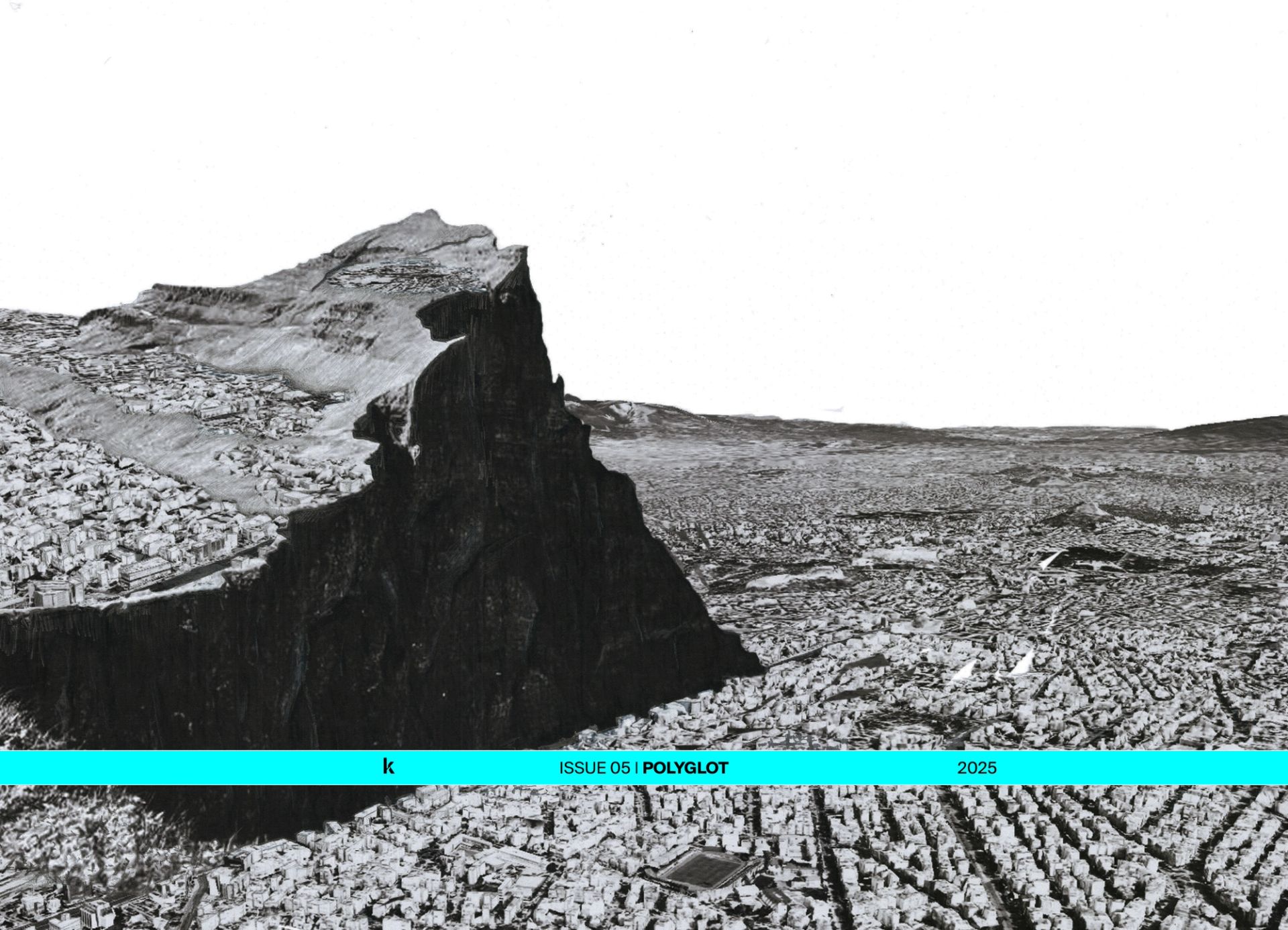
Studio Presentation, Negev School of Architecture, 2021.
In the same vein, the school identifies the old city of Beer Sheba as a strategic location to engage with, being the “ground zero” of modern sedentary settling in the Negev-Naqab. The city of Beer Sheba was established in 1877 as a juridical node in the landscape. Positioned in the centre of the Jerusalem sub-district, its location aimed to bridge an Ottoman “void” between Jerusalem and Gaza, providing a place for rest, water, as well as assembly. The city’s masterplan of 1899 further detailed Beer Sheba as a new administrative and economic centre, specifying a system of public buildings.1 It aimed to set a further foothold, in which its symbols of power take physical form.
The masterplan of Beer Sheba prescribed a 60 by 60 metre grid, one that predisposed itself through its proportion to further Ottoman control.
The masterplan of Beer Sheba prescribed a 60 by 60 metre grid, one that predisposed itself through its proportion to further Ottoman control. It details plots in the size of four Dunam,2 luring the Bedouin tribal family into a sedentary life. This was one of the most extensive attempts by the Empire to settle the Bedouins, a traditionally nomadic group who are an indigenous tribal minority belonging to the territory of the Negev-Naqab.3 The Ottoman project assigned every block to a head of a Bedouin clan, in exchange for their sedentary living within the city’s administrative limits. This can be seen as an attempt to challenge the way in which the Bedouin use the landscape, associating, for the first time, the social structure of the Naqab Bedouin with the intervals of Beer Sheba’s grid. By 1914 the city already housed 1,000 people in 200 dwelling places and provided 50 commercial spaces to its inhabitants,4 manifesting the Ottoman ambition to use modern town planning as means of establishing sovereignty.

Tour to Yerucham, Negev School of Architecture, 2022.
Today, the area is mostly characterised by commercial activity and desolate compounds. It stands in contrast with the central, residential nature of the initial ottoman masterplan, echoing the ideological shift imposed by the Zionist project throughout the 20th century. Academically, a recording of the landscape’s current state has the potential to serve as an archive in itself, capturing a void in the heart of the Negev-Naqab largest settlement.
Additionally, the School’s ambition to involve students in “hands-on” activity is key both to their process of learning and for the city of Beer Sheba. As part of a cooperation with the municipality, we have identified one of the original "4 Dunam" blocks, which used to host the IDF southern district headquarters, Camp Vered. The desolate base reveals the architecture of the Israeli Defence forces; as the army was never subjected to building control or planning committees, their design ambition was parasitical. Early bases grafted into existing buildings, following a bricolage logic; retaining of old mud walls, lintels and floors, as a way to create operational space not affected by the way it appears.
2. Critical Technologies and the Old City
As part of the curriculum, the year is punctuated with a series of experimental workshops that aim to disrupt the inertia of production and offer a moment of interaction with the physicality of the Negev-Naqab.For the cohort of 2021–22, three workshops dealt specifically with the area of the Ottoman Masterplan and explored different methodologies to record its condition today.
The workshops attempted to harness a series of experimental media—from drone scanning and LIDAR reality capture to layered documents that superimpose portraits and geo-data. In doing so, they offer a critique of the range of abstraction inherited in acts of mapping. We have gathered a series of leading practitioners that deal with mapping, critically. This initiative is inherently associated with the growing discourse about land itself as an archive, which is highly relevant to the Negev-Naqab. Arguably, scanning could become a way to question museological historiographies through new means: the scan offers a non-intrusive action to capture with unprecedented precision the relationships between form and materiality, proportion, post-occupancy and ecology. As not so long ago archaeologists extracted physical samples from sites, scanning allows our profession to update itself in the same manner medical imaging has transcended the act of dissection. Students have deployed a variety of interlinked image practices: panorama, along its role in depicting the image of a landscape, Landscape Portraits, an oxymoron which allows an awareness of image fundamentals such as framing, orientation and construction. Additionally, the use of GPS location, altitude and magnetic direction metadata in order to embed the relationships between location and representation.
Our engagement with the historic city centre, both theoretically and physically, could potentially lead to a slow, long-term intervention on site.
Three workshops have been hosted in Beer Sheba’s Historic City Centre: Volumetric Video Recording by Uwe Brunner, Photography Computation, Place by Shabtai Pinchevski and Reshaping Historic Urban Landscapes by Yuval Bar-Adon & Adam Havkin. Working in groups, students examined sites through GIS mapping software, depth-sensing video cameras, photogrammetry, drone photography, archival material, 3d photographic reconstruction, machine learning tools, and digital game engines. In Brunner's workshop, the students edited video recordings through Digital Game Design Engines in order to question the notion of the documentary, inhabiting the gap between digital resolution and the site itself. Pinchevski’s workshop explored the constraints of photographic practices as a way to engage with the documentation of sites through the unit of the pixel. In Camp Vered, Bar-Adon and Havkin's workshop captured hyper-detailed scannings of the abandoned site and analysed them off location. The various tools employed explore the possibility of using material as information rather than representation, inhabiting the gap between digital resolution and the physical reality of place.
We propose and position ourselves as a never-ending laboratory which allows experimental processes of learning and fabrication, and an energy which will try to tie a historic centre back to its locale.
This creates an opportunity to experiment with the relationship between acts of mapping and the experiential, sentient body in space. We believe that as an academic institution which brings a new inertia into the territory, our engagement with the historic city centre, both theoretically and physically, could potentially lead to a slow, long-term intervention on site. Ideally, we propose and position ourselves as a never-ending laboratory which on one scale will allow experimental processes of learning and fabrication, while on the other an energy which will try to tie a historic centre back to its locale.
Bio
Georgia Hablützel is an architect and researcher based in London and Tel Aviv-Jaffa where she co-founded web-site.info. She attended the Architectural Association graduating with an M.Arch and was awarded the AA Prize. Georgia is a member of the inaugural team of the Negev School of Architecture located in the Naqab where she is the Head of First Year. In addition, she is a Studio Master at the Architectural Association in the Diploma Unit 7 and holds a teaching position in Third Year at Bezalel School of Architecture, Jerusalem.
Dor Schindler is an Architect and Researcher based in Tel Aviv-Jaffa where he co-founded web-site.info. He attended the Architectural Association, graduating with an M.Arch and was awarded the RIBA Wren Insurance association scholarship for young practitioners. He is a Studio Master at Bezalel Department of Architecture in Jerusalem, as well as a founding member of the Negev School of Architecture, Beer Sheba. He previously taught at Shenkar School of Design and the Architectural Association.
Notes
1 Yasmin Avci. The Application of Tanzimat in the Desert: The Bedouins and the Creation of a New Town in Southern Palestine (1860–1914). Middle Eastern Studies, Vol. 45, No. 6, 969–983, November 2009. p.977
2 An Ottoman unit of measure, which ranged along the years between 900-2500 m2. In the context of Palestine, it is the equivalent of 1000m2.
3 Nasasra, Mansour. The Naqab Bedouins: A Century of Politics and Resistance. New York: Columbia University Press, 2017 p.18
4 Yasmin Avci. The Application of Tanzimat in the Desert: The Bedouins and the Creation of a New Town in Southern Palestine (1860–1914). Middle Eastern Studies, Vol. 45, No. 6, 969–983, November 2009. p.977